
Welcome to CivilGEO Knowledge Base
Welcome to CivilGEO Knowledge Base
The Reshape Polygons command allows the user to reshape an already drawn polygon or any adjoining polygons that share the same edge. This article describes how to use the Reshape Polygons command.
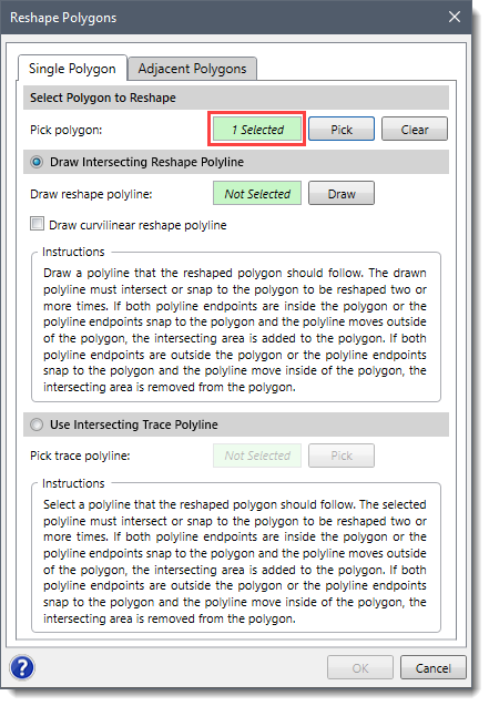
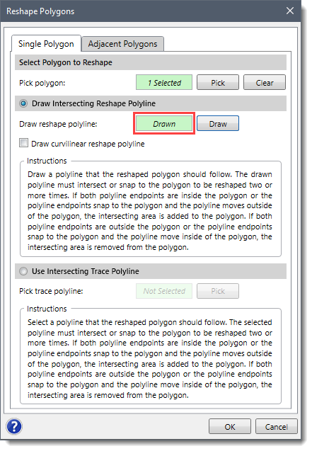
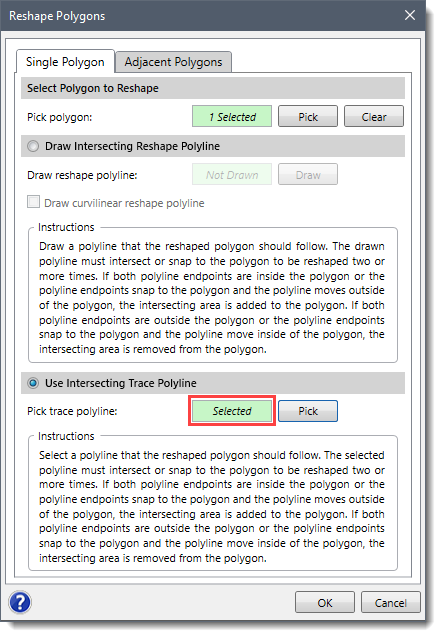
Follow the steps below to reshape a single polygon:

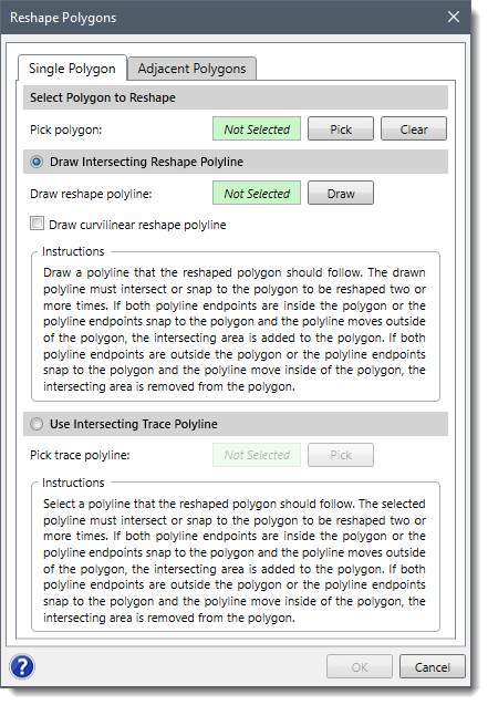
This option allows the user to draw a polyline on the Map View that the reshaped polygon should follow. The drawn polyline must intersect the polygon two or more times. If both polyline endpoints are inside the polygon, the intersecting area is added to the polygon. If both polyline endpoints are outside the polygon, the intersecting area is removed from the polygon.
![[Draw] button](/wp-content/uploads/sites/25/2021/09/Reshape-Polygons-Command-Img-4.png)
This option allows the user to select an already existing polyline on the Map View that the reshaped polygon should follow. The selected polyline must intersect the polygon two or more times. If both polyline endpoints are inside the polygon, the intersecting area is added to the polygon. If both polyline endpoints are outside the polygon, the intersecting area is removed from the polygon.
![[Pick] button](/wp-content/uploads/sites/25/2021/09/Reshape-Polygons-Command-Img-6.png)
Follow the steps below to reshape the polygon boundary between two adjacent polygons.
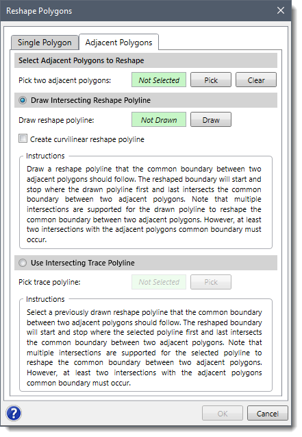
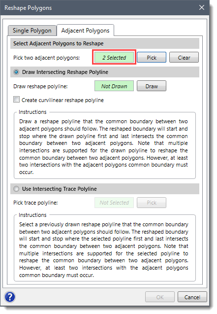
Note that the Draw Intersecting Reshape Polyline and Use Intersecting Trace Polyline options work similarly to what is provided in the Single Polygon panel. These options allow you to either draw or select an already existing intersection trace polyline from the Map View.
After clicking the [OK] button, the software will reshape the common boundary of two adjacent polygons along the intersecting trace polyline.


CivilGEO G2 Reviews
4.8/5.0 Rating, Over 230 Reviews

GeoHECRAS is recognized as the top Civil Engineering Design Software with an average of 4.8 out of 5.0 rating from over 230 real user reviews on G2.


We use cookies to give you the best online experience. By agreeing you accept the use of cookies in accordance with our cookie policy.
When you visit any web site, it may store or retrieve information on your browser, mostly in the form of cookies. Control your personal Cookie Services here.


