
Welcome to CivilGEO Knowledge Base
Welcome to CivilGEO Knowledge Base
In CivilGEO software, the Extend Polylines command allows the user to extend one or more selected polylines in order to intersect it with a drawn polyline or selected polylines or polygons.
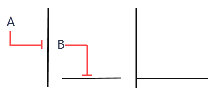
The following example illustrates how the Extend Polylines command can be used to extend polyline B to meet polyline A.
This article explains how to use the Extend Polylines command.
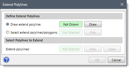
From the Map Edit ribbon menu, select the Extend Polylines command and the Extend Polylines dialog box will be displayed.
The following sections describe how to use the Extend Polylines command and interact with the above dialog box.
The Define Extend Polylines section allows the user to define the polylines (and polygons) that should be used in the Extend Polylines command. The user can define the polylines to be extended by either drawing a new extend polyline or by selecting the previously drawn polylines or polygons from the Map View.
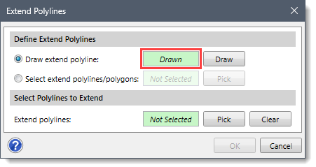
The Draw extend polyline radio button option allows the user to interactively draw a single extend polyline on the Map View.
Follow the steps below to draw the extend polyline on the Map View:
![[Draw] button](/wp-content/uploads/sites/25/2023/11/Extend-Polylines-Command-Screen-Capture-3.png)
The Select extend polylines/polygons radio button option allows the user to select one or more existing polylines or polygons from the Map View as extend polylines.
Follow the steps below to select the extend polylines/polygons from the Map View:
![[Pick] button](/wp-content/uploads/sites/25/2023/11/Extend-Polylines-Command-Screen-Capture-5.png)

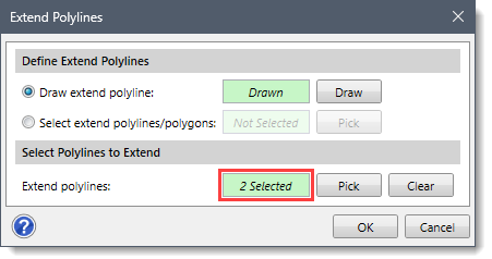
The Select Polylines to Extend section allows the user to manually select the polylines to be extended from the Map View. Note that this section is enabled only when the user has defined extend polylines in the Define Extend Polylines section.
Follow the steps below to select polylines to be extended:
![[Pick] button](/wp-content/uploads/sites/25/2023/11/Extend-Polylines-Command-Screen-Capture-7.png)
Once the data have been properly defined in the Extend Polylines dialog box, click the [OK] button. The software will extend the selected polylines along the defined clipping polylines or polygons.
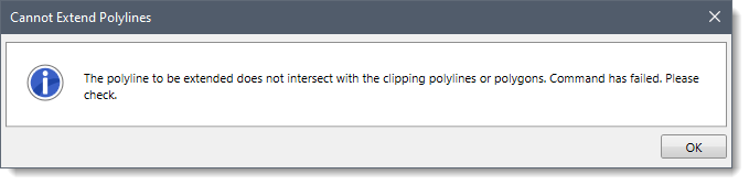
Note that if the selected polylines to be extended do not intersect with the clipping polylines or polygons, the following informational dialog box will be displayed on clicking the [OK] button.


CivilGEO G2 Reviews
4.8/5.0 Rating, Over 230 Reviews

GeoHECRAS is recognized as the top Civil Engineering Design Software with an average of 4.8 out of 5.0 rating from over 230 real user reviews on G2.


We use cookies to give you the best online experience. By agreeing you accept the use of cookies in accordance with our cookie policy.
When you visit any web site, it may store or retrieve information on your browser, mostly in the form of cookies. Control your personal Cookie Services here.


