1. Home
  2. Knowledge Base
  3. GeoHECHMS
  4. Watershed Flow Paths Command
  1. Home
  2. Knowledge Base
  3. GeoHECRAS
  4. Watershed Flow Paths Command
  1. Home
  2. Knowledge Base
  3. HEC-HMS Modeling
  4. Watershed Flow Paths Command

Watershed Flow Paths Command

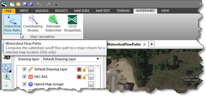
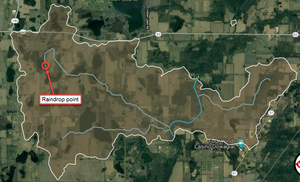
The Watershed Flow Paths command computes the watershed runoff flow path for a selected location on the Map View. The command uses the USGS WMS service and NED (National Elevation Data) to compute flow path. The USGS provides several of their map products as a WMS (Web Map Service). A Web Map Service is an interface that provides maps of geospatial data as well as detailed information for specific features shown on the map. The NED serves as the elevation layer of The National Map and provides basic elevation information for earth science studies and mapping applications in the United States.

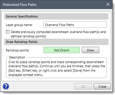
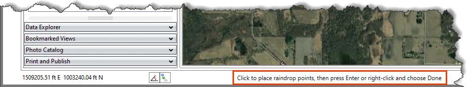
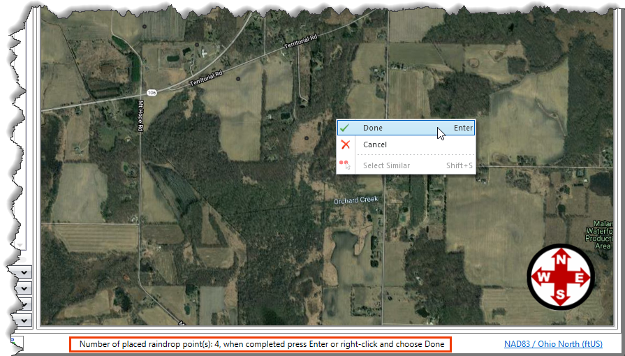
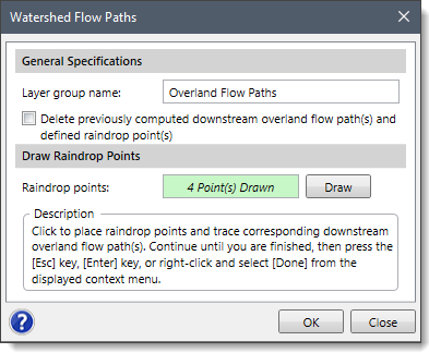
To use the Watershed Flow Paths command, follow the steps below:

  1. From the Watershed ribbon menu, select Watershed Flow Paths command.
    Watershed Flow Paths Command
  2. The Watershed Flow Paths dialog box will be displayed.
    Watershed Flow Paths dialog box
  3. Define the name for the layer group in the Layer group name input field. This name identifies the layer group that will be created in the Map Data Layers panel and will contain the raindrop points, downstream overland flow paths, and main streams.
  4. The Delete previously computed downstream overland flow paths(s) and defined raindrop point(s) checkbox can be checked to delete any previously computed overland flow paths.
  5. Click the [Draw] button. The Watershed Flow Paths dialog box will temporarily disappear, and a prompt will be displayed on the status bar informing the user to place the raindrop point(s).
    Draw raindrop points
  6. Click on the Map View to place the raindrop point locations. A numerical count of raindrop locations will be displayed on the status bar. Once finished, press the [Enter] key or right-click and select Done from the displayed context menu.
    Map view raindrop points
  7. The Watershed Flow Paths dialog box will be redisplayed, and the total number of raindrop points will be displayed in the Raindrop points entry, as shown below.
    Watershed Flow Paths command dialog box
  8. Click the [OK] button. Internally, the software will compute the downstream flow path from each raindrop point. It will also show any major streams that the raindrop flow path encounters. Once the process is complete, the overland flow path from each raindrop point will be displayed on the Map View as shown below.

About the Author Chris Maeder

  • Was this helpful?
  • YesNo

Was this article helpful?

Related Articles