
Welcome to CivilGEO Knowledge Base
Welcome to CivilGEO Knowledge Base
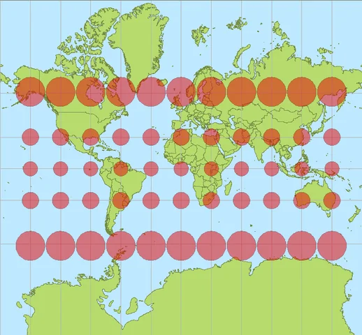
If projected coordinate reference system (CRS) has yet been assigned to the project, then assigning a base map layer (i.e., Hybrid Map Bing, etc.) will automatically assign the Google Mercator coordinate reference system to the project. The Google Mercator CRS allows any location on the globe to be represented as X-Y coordinates.


CivilGEO G2 Reviews
4.8/5.0 Rating, Over 230 Reviews

GeoHECRAS is recognized as the top Civil Engineering Design Software with an average of 4.8 out of 5.0 rating from over 230 real user reviews on G2.


We use cookies to give you the best online experience. By agreeing you accept the use of cookies in accordance with our cookie policy.
When you visit any web site, it may store or retrieve information on your browser, mostly in the form of cookies. Control your personal Cookie Services here.


