1. Home
  2. Knowledge Base
  3. GeoHECHMS
  4. Convert Elevations Command
  1. Home
  2. Knowledge Base
  3. GeoHECRAS
  4. Convert Elevations Command
  1. Home
  2. Knowledge Base
  3. Importing Data
  4. Convert Elevations Command

Convert Elevations Command

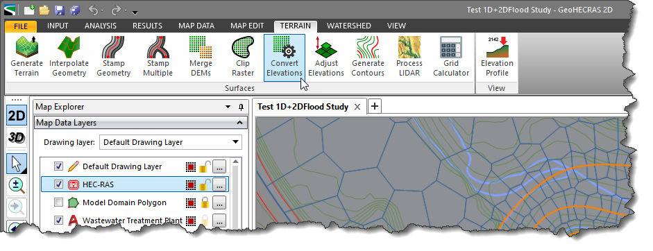
The Convert Elevations command allows elevation grids (also known as digital elevation models, DEMs, and raster elevation grids) to be converted from one vertical unit of measure to another. For example, USGS elevation grids have horizontal units in feet but elevations commonly in meters. This command allows the user to quickly convert the elevations from meters to feet.

To use the Convert Elevations command, the user must have loaded the elevation layer into the project.

Refer to this article in our knowledge base to learn how to load an elevation layer.

Follow the steps below to use the Convert Elevations command:

  1. From the Terrain ribbon menu, select the Convert Elevations command.
    Convert Elevations ribbon menu command
  2. The Convert Elevations dialog box will be displayed.
    Convert Elevations dialog box
  3. From the Elevation grid dropdown combo box, select the elevation layer that needs to be converted.
  4. In the Elevation Adjustment section:
    • Choose Scale metric (SI) units to US units radio button option to convert the elevation grid file from meters to feet.
    • Choose Scale US units to metric (SI) units radio button option to convert the elevation grid file from feet to meters.
    • Choose Multiply with scale factor radio button option to multiply the original elevation values in the DEM by a predefined scale factor entered in the entry field next to this option.
    • Choose Add elevation offset radio button option to add a predefined value to the original elevation values in the DEM. If this option is selected, an offset value should be entered.
  5. The changes in the elevation range will be reflected in the Elevation Range section.
  6. Click the […] button beside Converted DEM file to specify the file location, name, and format of the converted elevation grid to be stored.
  7. The Load DEM as map layer checkbox option allows the user to include the converted elevation grid as a new layer in the Map Data Layers panel. By default, this checkbox is checked.
  8. From the Converted DEM CRS dropdown combo box, select the CRS to be used for the converted elevation grid. Note that if there is only one CRS in the project, the software automatically selects it.
  9. Click the [Convert] button.
    Click the [Convert] button
  10. The software will create a new elevation grid file at the specified location and load the converted elevation grid file as a new layer in the Map Data Layers panel.
    Map Data Layers panel

About the Author Chris Maeder

  • Was this helpful?
  • YesNo

Was this article helpful?

Related Articles